Grab your shovels and snow boots, Colorado—storm's a'coming!
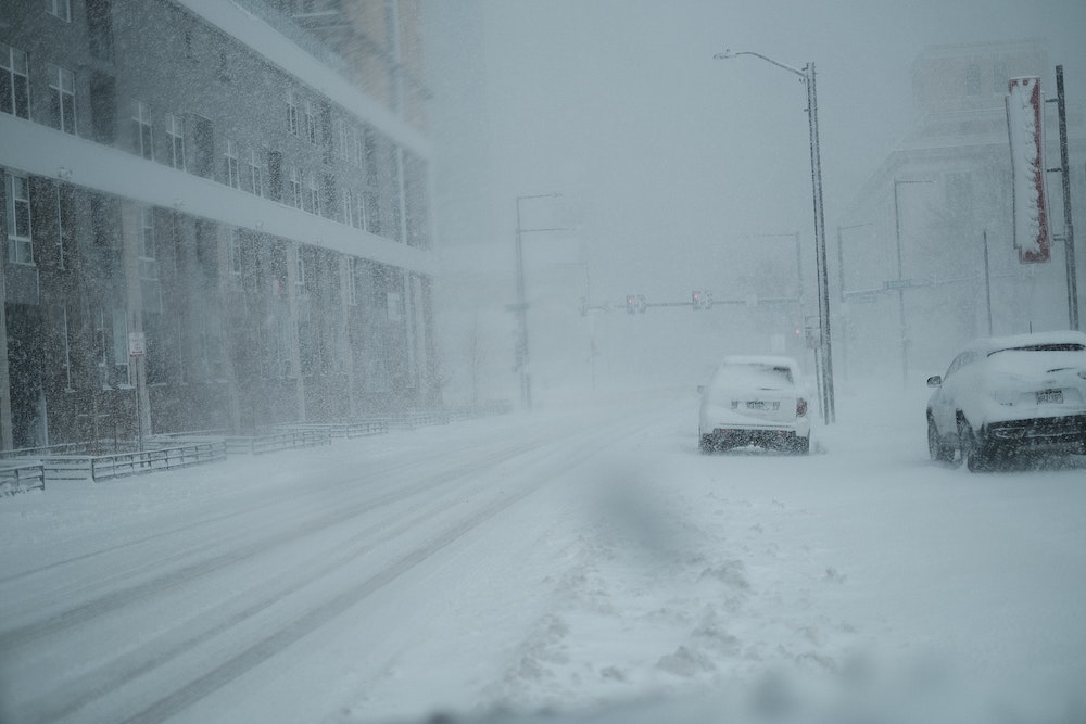
Get ready for more snow this week, folks. Another winter storm will be rushing into the mountains on Tuesday before hitting Denver and the Front Range on Wednesday. So make sure you have those gloves, shovels, ice melt at the ready (Maybe some hot chocolate, too!)
Expect the first flakes of snow around Tuesday afternoon in the mountains, as well as plenty of wind—gusts of wind exceeding 50 mph, at times, are expected. Then, on Tuesday night into Wednesday morning, visibility will be limited along mountain roads, including I-70 between Georgetown and Avon.
At the time of this writing, Steamboat Springs and Rabbit Ears Pass are the only areas under a Winter Storm Watch. Those areas could get up to two feet of snow Tuesday through Thursday.
As for Denver and the Front Range, snow could start late Wednesday afternoon with 1-3 inches of accumulation expected in most areas Wednesday night. Snowfall should end before the Thursday morning commute. Temperatures are also expected to be much colder than earlier in week, however, they won't be as cold as Saturday—with temperatures reaching only 8 degrees.
While the snow and cold won't be as crazy as New Year's Day weekend in Colorado, it's still bound to be windy. So be prepared during your commutes this week.
*This will be updated as we learn more about the winter storm coming through Colorado. Refresh for updates!